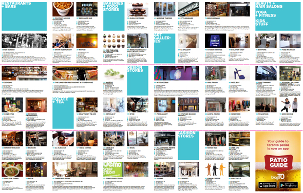
Get the new 2012/13 Toronto neighbourhood maps
The latest edition of our Toronto neighbourhood maps is now available. As many of you know, each year blogTO braches out into the non digital world and prints a series of guides to some of the most popular areas in Toronto. Each map features photos and write-ups of local restaurants, bars, coffee houses, fashion, design shops and other local businesses as well as big map indicating where they're located.
This year, we have created three separate maps that feature the following neighbourhoods:
- West Queen West, Ossington, Dundas West, Liberty Village
- Kensington Market, The Annex, Little Italy, Baldwin Village
- Leslieville, Riverside, Corktown and the Danforth
Maps are mainly distributed via many of the local businesses featured within. You can find them in the above neighbourhoods, often in a little red stand that has a big blogTO logo on it. They're free. For a small shipping and handling fee, however, the complete set can be ordered online via this page.
New this year we've also made available the maps in PDF format. You can view and download them here.

We hope you like the maps! As always, we wish we could create maps for more neighbourhoods but the project even at its current size is still a significant undertaking so don't feel slighted if your favourite 'hood is missing.
As always, we recommend you download the blogTO iPhone and iPad app for the most up to date and comprehensive guide of the city. Sign up here to be notified when the Android version comes out. And if you haven't seen it yet, we also just unveiled our new Toronto Patio guide app.
Thanks for reading and please add any questions or feedback to the comments below.
Latest Videos
Latest Videos
Join the conversation Load comments


