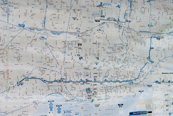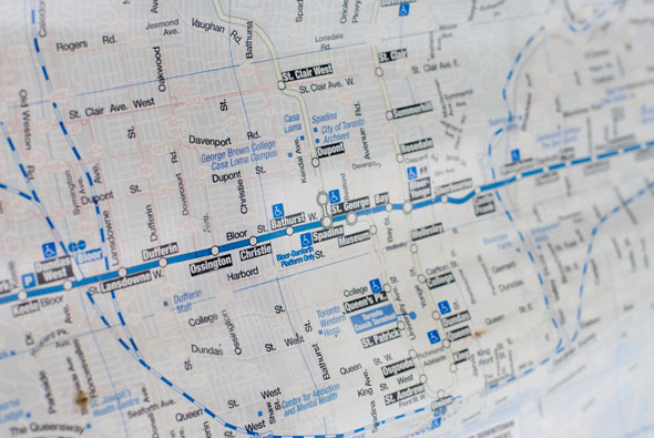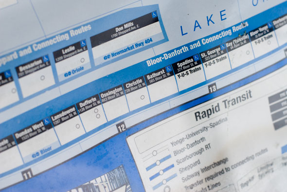
When an Entire Transit Network Disappears
Be it a world map or a tiny local map, I've always been a map guy. I love finding places I've been before, or plotting routes to places I've always wanted to visit or places I've never even heard of. In my short trip to Algonquin last summer with friends, I remember selfishly holding on to the map for the entire three day journey. I just love maps.
And so as I've noticed the faded TTC maps in bus shelters scattered throughout my part of the city (along Roncesvalles and Dundas West), I get a wee bit sad. As much as the promises of of technological improvements like GPS-based vehicle tracking and an online route planner sound great and are much needed, I just hope they aren't at the expense of something as simple as a printed route map that remains legible.

The sun in a powerful thing, and eats away at color pigment printed on paper (in this case the red and yellows, which mark all surface routes and the subway). Presumably the degradation to these route maps happens faster than the busy transit union's maintenance schedule and budget allow for replacement. Of course there may be other more important things for the TTC to worry about and I kind of felt silly mentioning it to them in the customer feedback part of their fancy newish and improved web page.
I guess I just think that if you are providing a map at all, it might as well have all the original information and not remain neglected. If only so I can have something to look at while waiting for the next streetcar.


Photos by Joseph Michael.
Latest Videos
Latest Videos
Join the conversation Load comments


