Someone made an interactive map of what the TTC streetcar system looked like in 1945
An interactive map recently developed by a Toronto high school student offers a glimpse into what the TTC's comprehensive streetcar network looked like during its peak in 1945.
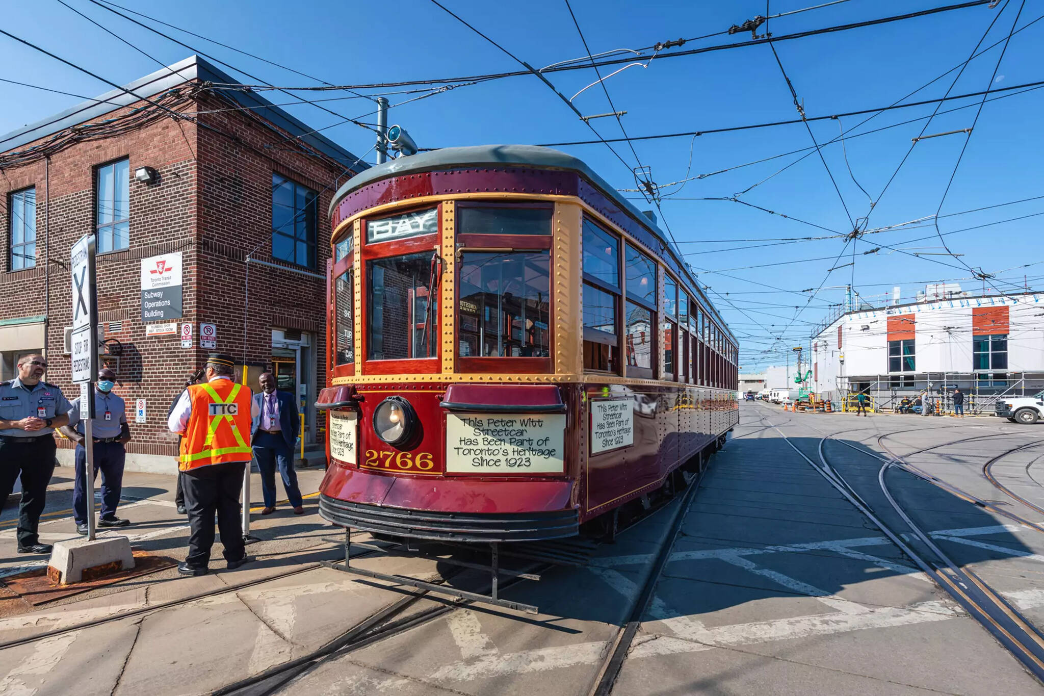
Despite only being in the 11th grade, North York resident Luka Jovanovic has already developed a passion for computer programming. He tells blogTO that approximately a year ago, he came across an image of the Yonge Street and Empress Avenue intersection and noticed a streetcar rail in the street.
Knowing that the area eventually became car-dependent, Jovanovic was intrigued to learn about Toronto's old streetcar history and came across a blogTO article highlighting a similar map.
"Also around this time is when I found out about urban planning, the mistakes made by previous generations, car dependence, and walkable neighbourhoods," he told blogTO.
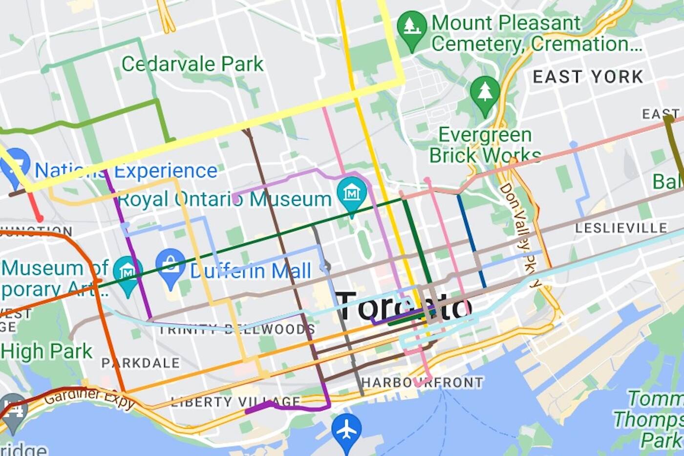
The interactive map offers a glimpse into what the TTC's streetcar network looked like at its peak in 1945. Photo: Luka Jovanovic.
"Youtubers like Not Just Bikes and Adam Something were a big part of my interest in this topic. I also take the TTC to school every day, and it's my main mode of transportation, so I could see how many of these points on improved public transit could positively influence my day-to-day life."
In total, Jovanovic estimates that he spent roughly two hours creating the interactive map. After posting his project to several Toronto-based Reddit pages, he says he received lots of supportive and kind messages.
"This was really big for me because even though I've been coding for five years, I never made anything that someone other than myself would consider useful or fun," Jovanovic said.
I made an interactive map of Toronto's old streetcar network.
byu/AvalibleName intoronto
"This is actually a pretty big problem many young people experience where they just begin to get good enough at a field where they can make things that could be useful, but just can't find an audience. I even got to points where I would make websites for people for free just to have a chance to apply my skills. To get even a single response, let alone one so positive, is really new to me."
A few respondents also pointed out flaws or missed details in the interactive map. However, Jovanovic says those comments are "fair" since he "definitely could've put in a bit more effort."
Currently, the 11th-grade student doesn't have any plans to make more maps, although he's been checking through Toronto's open data portal to see if there are any more interesting visualizations worth making.
"I was thinking of making a map where you can select culture, like Italian, for example, and watch how over time the ethnic centre moved around the city until the present day," Jovanovic told blogTO.
Jack Landau
Latest Videos
Latest Videos
Join the conversation Load comments


