Flood watch issued for Toronto ahead of spring-like storm
Toronto's weather forecast contains some good news and some bad news this week thanks to a combination of factors including ice jams, warming temperatures and some heavy anticipated rainfall.
"This week's welcomed warm-up will come at a price across southern Ontario, as a spring-like storm accompanies the milder temperatures and threatens more rain and periods of tricky icy travel amid some prolonged freezing rain," notes The Weather Network of what we can expect in the days to come.
In addition to potentially icy travel woes, we're also under a flood threat.
The Toronto and Region Conservation Authority (TRCA) issued a formal flood watch for the region on Monday, set to be in effect until Wednesday, Feb. 23, due to Environment Canada's forecast of a "significant weather system."
TRCA has issued a FLOOD WATCH as 15-25 mm of rainfall is expected Tuesday, along with warming temperatures. River water levels and ice jam conditions and locations can change very rapidly. Please exercise extreme caution. #ONStorm https://t.co/Glw1Q12xl0
— TRCA Flood (@TRCA_Flood) February 21, 2022
This system is expected to bring rainfall amounts of up to 25 mm to Toronto on Tuesday, with some freezing rain possible. Any ice accumulation should melt fast, however, as temperatures rise to a high of 6 C.
This isn't necessarily a good thing: All of that melted water needs somewhere to go, and Toronto is already pretty saturated after our last few rounds of heavy snow and rain.
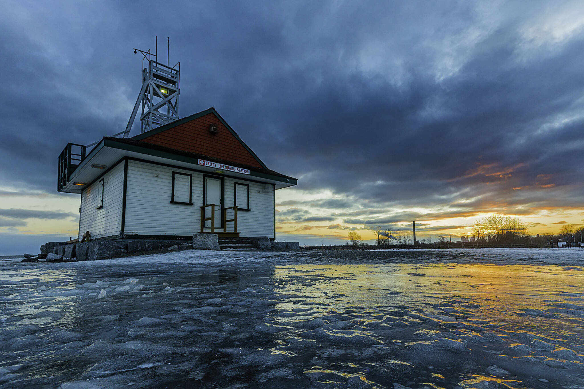
Water levels in Toronto have receded a bit following last week's rainfall event, with some notable exceptions due to ice jams, specifically along the Humber River near Old Mill Road, but might not stay safe for long.
"With the combination of increased runoff from rainfall on frozen ground as well as snow and ice melt, water levels and flows in rivers will be higher than normal this week with the incoming weather system," notes the TRCA. "All rivers and streams within the GTA should be considered dangerous as the weather conditions will result in higher water levels, fast flowing cold water and slippery or unstable banks."
This week's warm-up sets the stage for a heightened flood threat in southern Ontario as a spring-like storm brings more rain and freezing rain to the province. #ONStorm #ONFlood https://t.co/nWqDj6OeQI
— The Weather Network (@weathernetwork) February 22, 2022
The Toronto Police Marine Unit is similarly reminding all residents to stay away from natural ice surfaces on open bodies of water, including those that have formed on fields and flooded river banks.
"With milder temperatures and rain expected this week, ice conditions are very unstable and the water underneath is flowing fast. The Marine Unit is also advising that open water including storm water management pond ice is unstable and never truly safe," warn police.
"In the coming weeks as the spring run-off starts to happen, road salt can make its way into lakes, rivers, streams and ponds, further increasing the instability of the ice."
Long story short? The weather is beginning to change from winter to spring (yay!) but it won't be instant. Rather, there could be plenty of dangerous back and forth, melt and freeze, warm and cold messiness on the horizon before winter effs off for good.
Latest Videos
Latest Videos
Join the conversation Load comments


