Ontario blasted with massive dump of snow after messy winter storm
Drivers across central and southern Ontario are being urged to put a pause on any non-essential travel throughout Wednesday, as intense snow squalls throughout the region could bring up to 40 cm of the white stuff and disrupt travel along roads.
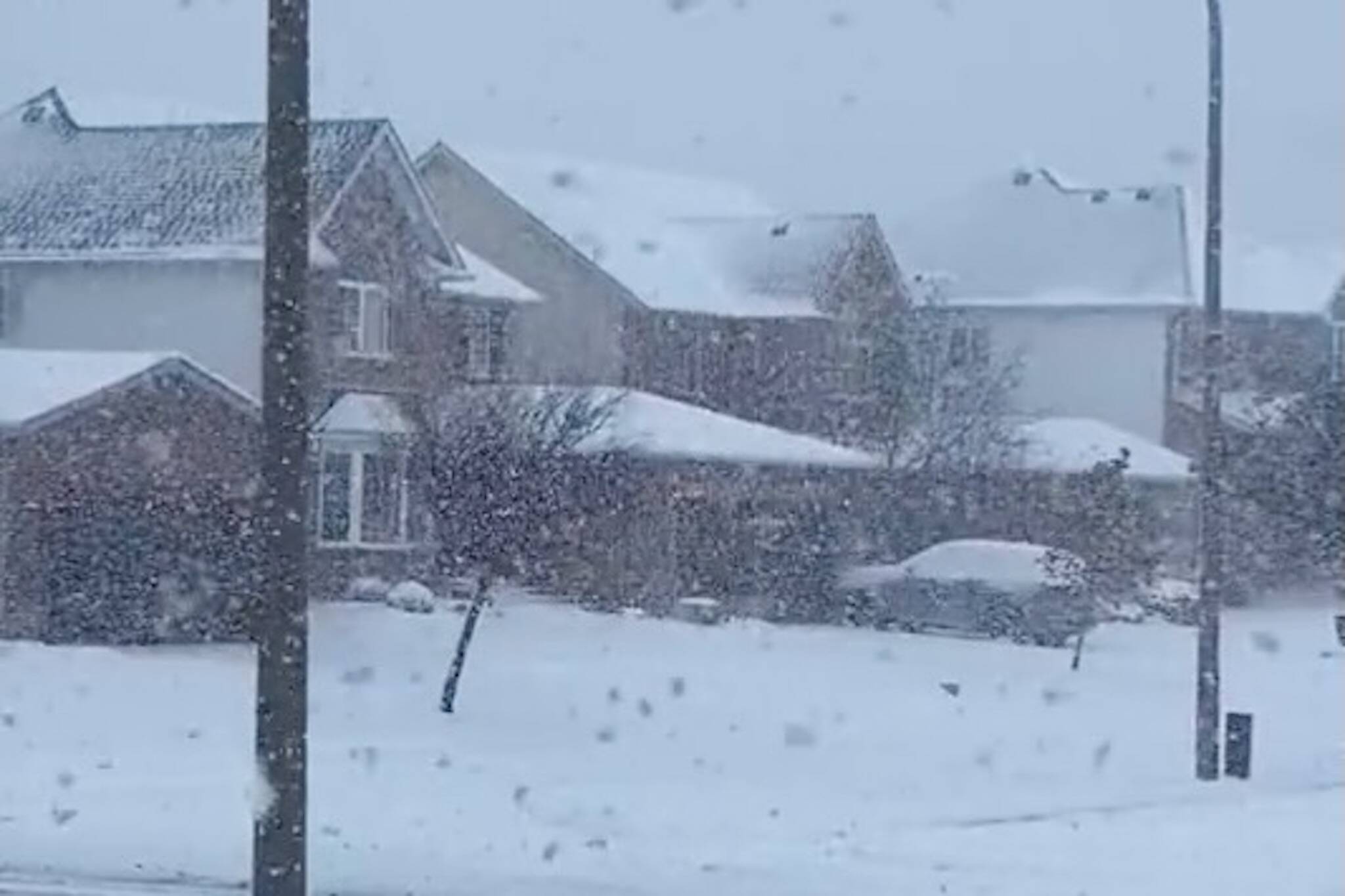
The first significant snow squalls of the winter season in Ontario have already landed in some cities, and wintry travel conditions are expected to continue through early Wednesday, according to The Weather Network.
Leaving Shakespeare now and the squall snowfall rates are ramping up. @weathernetwork #ONStorm pic.twitter.com/KLht4Mhc8G
— Mark Robinson (@StormhunterTWN) November 28, 2023
While some parts of the province have already been blanketed in snow, over 20 cm is still expected to arrive in some of the hardest-hit regions, with risks of isolated power outages and harsh snowfall rates up to 5 cm per hour.
"Be prepared to deal with changing road conditions that deteriorate quickly. Evaluate the possibility of delaying any non-essential travel until conditions improve," Environment and Climate Change Canada (ECCC) said in a snow squall warning.
Crazy lake effect snow in Kitchener #onstorm #OnWx @StormhunterTWN @weathernetwork pic.twitter.com/MN3l3vYGCW
— Ajuk Snir 🇨🇦🇷🇸🇭🇷 ☔🌡️☀️🌪️❄️ (@KWBlizzard2008) November 28, 2023
While Toronto isn't expected to see a major dump of snow, temperatures will take a nosedive throughout Tuesday, with daytime highs falling below the 0 C mark for the first time this winter season.
"If this happens, Toronto will be colder than Iqaluit, Nvt., in Canada's far north —more than 2,000 km away. Iqaluit's forecast of 0 C and 3 C on Tuesday and Wednesday will likely be warmer than both Toronto and Ottawa," The Weather Network wrote in its latest report.
City hall practically gone in the snowfall #onstorm pic.twitter.com/y1JjzvldXx
— Bruce Duncan Skeaff (@StratfordBruce) November 28, 2023
With the bitterly cold air, brief bursts of snowfall are possible and could temporarily move through the GTA. However, the worst squalls will likely set up over Lake Huron on Tuesday, impacting Kincardine, Goderich, Stratford, Kitchener, and Waterloo.
12 cm of snow in the west end of Kitchener as of 8:32 am. #ONStorm #ONwx pic.twitter.com/VeWqXIKHbI
— WeatherCAN (@1Weathercanada) November 28, 2023
"There is high confidence that the west GTA will see flurries and localized bursts of heavier snow. Most places should see a dusting of snow on the west side of the GTA (near and west of downtown), and definitely a risk for localized overachievement," The Weather Network's report reads.
A snowy scene near #Brussels this morning as a potent snow squall impacts the area!#OnWX #Onstorm pic.twitter.com/16x7sHOmGB
— WxOntario (@WxOntario1) November 28, 2023
Luckily, conditions will improve as we get past Wednesday, when milder air will push into southern Ontario during the first few days of December, bringing "near or slightly above-seasonal temperatures" to the region, which will hopefully help some communities melt off the snow.
Latest Videos
Latest Videos
Join the conversation Load comments


