Winter storm watch issued for Toronto ahead of 'blizzard-like' weather event
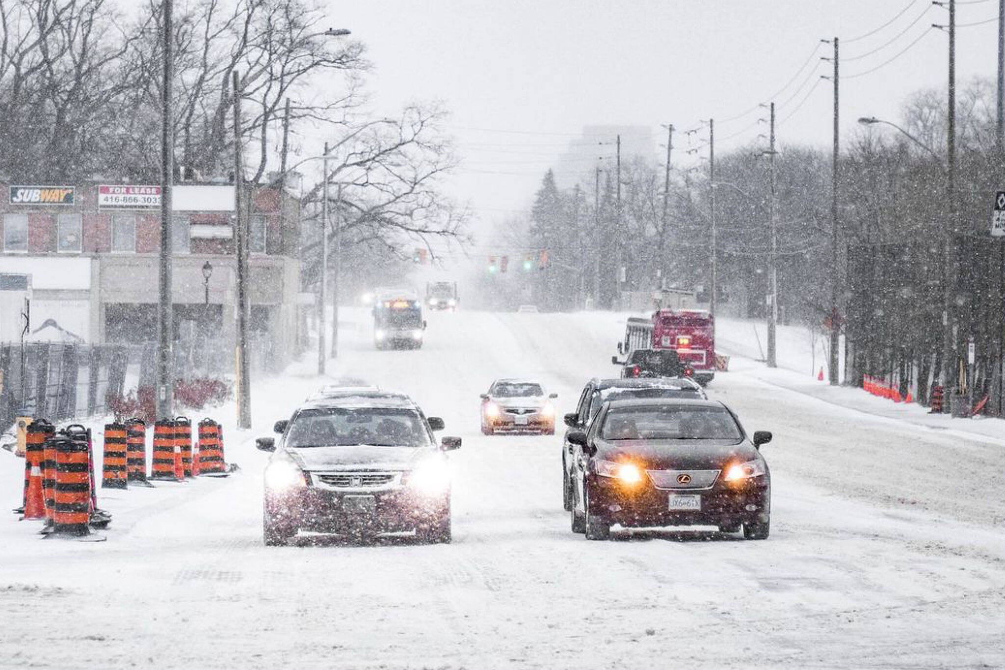
Toronto weather watchers are gearing up for what meteorologists say could be the "most impactful" winter storm of the season this Friday as a powerful system moves toward the Great Lakes, threatening to dump more than 30 cm of snow on parts of southern Ontario.
"A Texas low is expected to bring heavy snow and strong winds to a large swath of southern Ontario," reads a winter storm watch issued by Environment Canada for Toronto on Thursday morning.
"Snow will begin Friday evening and quickly become heavy at times. Heavy snow in combination with strong easterly winds will create significantly reduced visibility and hazardous travel conditions."
The federal weather agency is forecasting total snowfall accumulations of 15 to 20 cm in the City of Toronto, though notes that "there remains some uncertainty at this point to the placement of the heaviest snow."
⚠️ Winter storm watches and special weather statements have been issued for tomorrow's storm!
— ECCC Weather Ontario (@ECCCWeatherON) March 2, 2023
❄️ Hazardous driving conditions are expected with rapidly accumulating snow and blowing snow.
Please continue to monitor alerts 👉 https://t.co/5ijm9tHdb4#ONStorm #ONwx pic.twitter.com/MakNt31Kjq
Over at The Weather Network, they're calling for up to 30 cm of snow or more between Friday and Saturday morning.
"Southern Ontarians should prepare now for significant impact and potential blizzard-like condition," reads a Weather Network update published Thursday morning.
Meteorologists say that the incoming system will intensify as it tracks toward our region, spawning "a dangerous severe thunderstorm outbreak across parts of the southern United States on Thursday and Friday."
"The same energy feeding that rough weather south of the border will put southern Ontario squarely beneath a heavy band of snow that could drop 20-30 cm of snow," writes The Weather Network.
"Couple that with strong winds and extensive blowing snow, and blizzard-like conditions are a major threat, especially near the west end of Lake Ontario."
This #onstorm snowfall projection map may yet get some tweaks as there is still some disagreement in some of the models regarding exact track, but expect a high impact winter storm with heavy snow fall rates & blustery winds. @weathernetwork pic.twitter.com/ljMuYBsDPw
— Chris Murphy TWN (@MurphTWN) March 2, 2023
As for timing, heavy snow is expected to hit Toronto on Friday and pick up throughout the evening, lasting into the first half of Saturday and doubtlessly bringing the highest snowfall amounts of the season to some parts of southern Ontario.
"Winter storm warnings or snowfall warnings may be issued as the event draws nearer," says Environment Canada.
"Rapidly accumulating snow could make travel difficult over some locations. Surfaces such as highways, roads, walkways and parking lots may become icy and slippery."
In other words, it may be time to start rescheduling any out-of-town brunch plans on Saturday morning.
Latest Videos
Latest Videos
Join the conversation Load comments


