This map shows where Toronto was hit hardest by today's heavy rainstorm
It's no secret that Toronto is still reeling from the massive rainstorm that hit the city incredibly hard earlier today.
Certain areas were hit harder than others, with intense flooding mostly in the northwest part of the city.
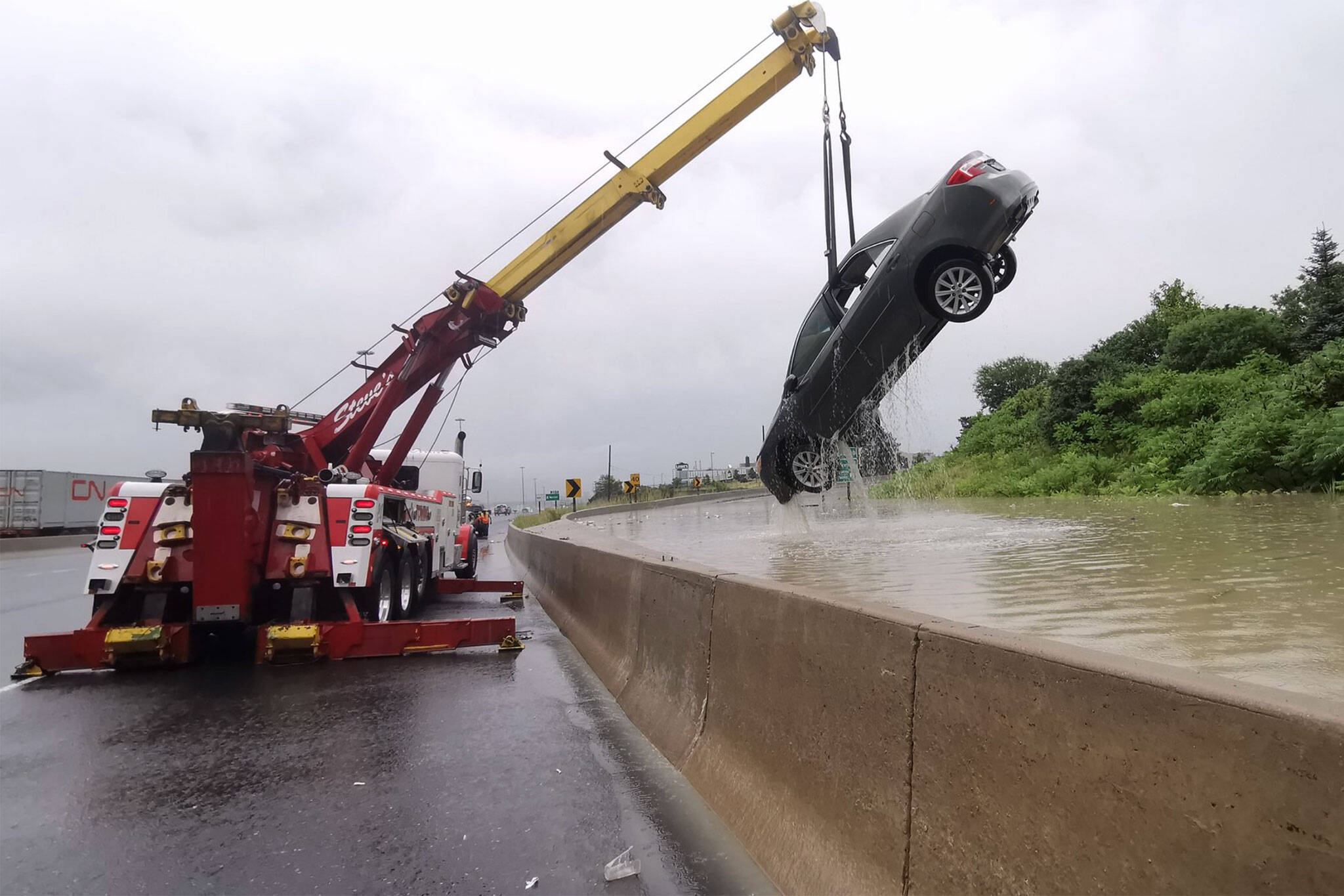
Cars are being cleared from floods at #Hwy401 and Islington - 📹 Sonny Subra https://t.co/l1FaVwMwDe #TorontoFlood #Toronto #ONstorm #Flooding pic.twitter.com/ireuD7OaKX
— blogTO (@blogTO) July 17, 2019
Now, with a map shared by Chief Communications Officer of Toronto Brad Ross, you can see exactly which areas were hit the hardest.
This map shows the significant rainfall the city saw this morning, especially in the northwest of Toronto. Several road closures resulted, and some still remain closed as crews work to clear catch basins to allow water to recede. 1/5 pic.twitter.com/xFIIPpe2CG
— Brad Ross (@bradrossTO) July 17, 2019
The map shows the total amount of rainfall in millimetres in each area, as well as the return period.
It's estimated that overall, up to 50 mm of rain fell within a few hours.
This is one of the cars that got soaked by the rain in #Toronto today - 📹 @SonnySubra #TorontoFlood #Flooding pic.twitter.com/XUTuWNhrPy
— blogTO (@blogTO) July 17, 2019
The rain has caused road closures, traffic delays and TTC shutdowns.
The #HumberRiver is overflowing - 📹 April Boultbee https://t.co/vvgkdOZNTh #Toronto #TorontoFlood #Flooding pic.twitter.com/ZGsyrihHBp
— blogTO (@blogTO) July 17, 2019
And while the sun may now be shining in Toronto, the Toronto Region and Conservation Authority has issued a flood warning, especially around rivers.
The #DonRiver is almost overflowing - 📹 @paaulpaarker #Toronto #TorontoFlood #Flooding pic.twitter.com/EzmwdfQJjM
— blogTO (@blogTO) July 17, 2019
The city is advising citizens to check and clear catch basins to prevent further flooding, and for anyone with basement flooding to call 311.
Latest Videos
Latest Videos
Join the conversation Load comments


