It just got easier to get around in the PATH
Navigating the PATH can be a constant source of frustration, particularly it's your first time down there. But manoeuvring through North America's biggest underground mall just got easier.
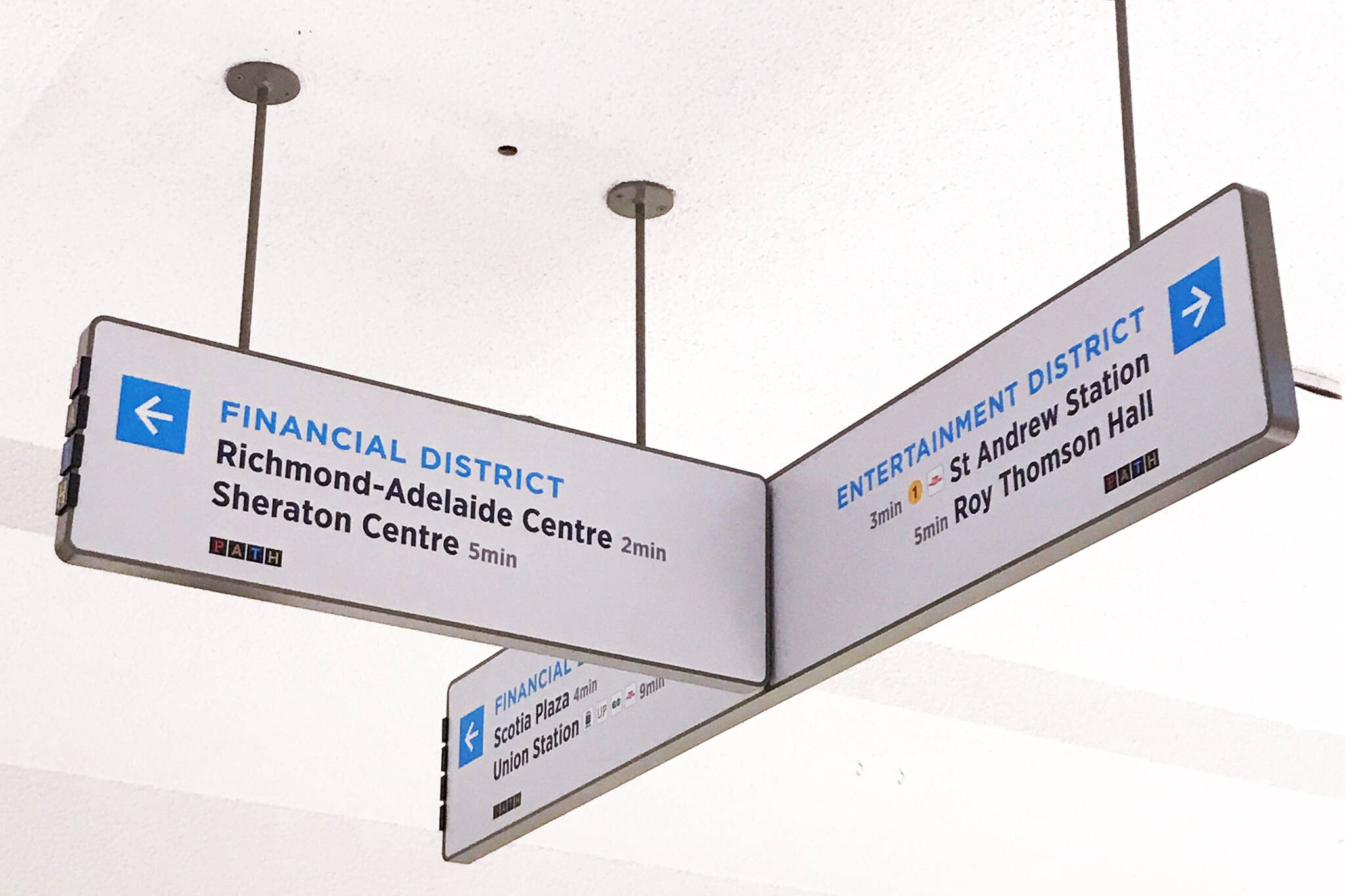
Helpful new signage recently appeared, offering clearly labeled directions to specific buildings and transit services in the vicinity. This, in addition to the new maps that were introduced last year, will help to make navigating the PATH a lot easier.
New prototype PATH signage hanging in Exchange Tower! pic.twitter.com/eCvdmnbw3Y
— TOFinancialDistrict (@MyTOFD) November 13, 2017
The signs are the result of a two-year plan to help the over 200,000 pedestrians that use the PATH daily to move between the 75 properties that make up the 30 kilometre underground network.
A sign of what's to come for downtown Toronto's Path pedestrian network https://t.co/DeGUtXiv6H #graphicsmedia #mapping pic.twitter.com/jzwBMGXR8M
— Cansel (@canselsurvey) September 18, 2017
The project aims to develop a more effective system for navigating the PATH and surrounding areas using waypoints, clearer directions, and more accurate representations of buildings.
Soon all buildings will don the new signs as the roll out is slated to be complete early next year.
Latest Videos
Latest Videos
Join the conversation Load comments


