15 harrowing moments from the Toronto rain storm
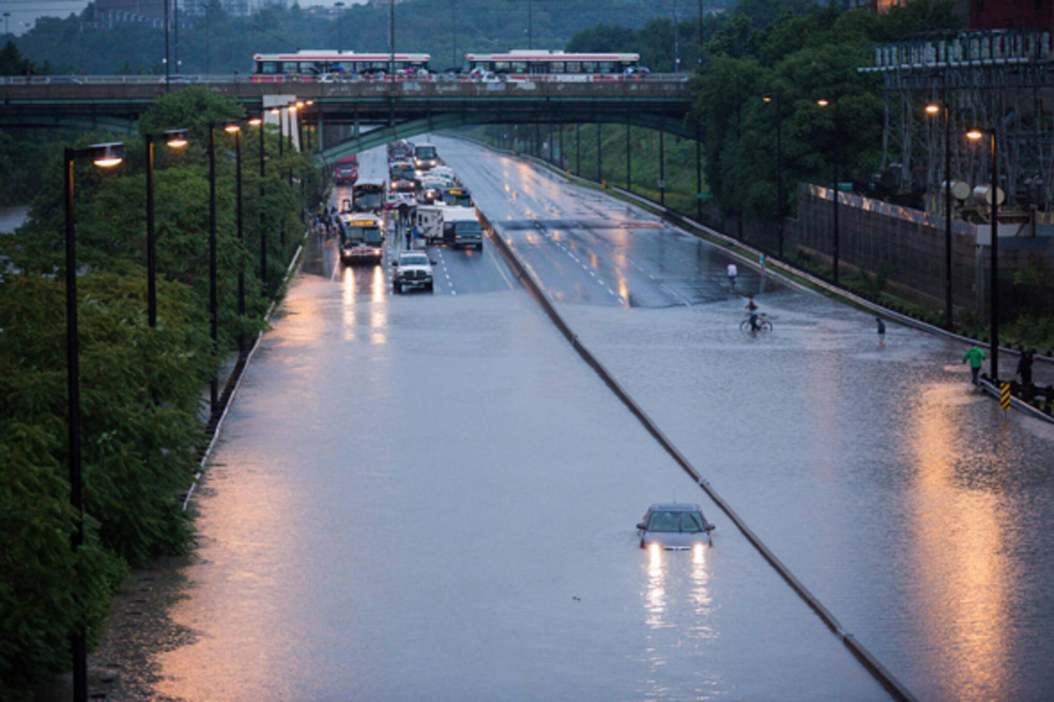
That was one massive storm in Toronto. With rainfall totals that reached and surpassed monthly levels in just a few short hours, the city's infrastructure and urban rivers just couldn't handle the increased load, many of them eventually overflowing in dramatic fashion. Key flood zones were spread throughout the city, though some of the most wild images come from King and Atlantic, where cars were nearly completely submerged, and the Don Valley, which spilled out onto the highway in addition to halting a GO train in its tracks and stranding passengers for hours. We've already shared many photos from commuters caught in the storm, but we also had our own photographer on the ground who captured the key flood zones and the rescue efforts in the Don Valley.
View 15 harrowing moments from the Toronto rain storm in this slideshow.
Photos by Tom Ryaboi
Latest Videos
Latest Videos
Join the conversation Load comments


